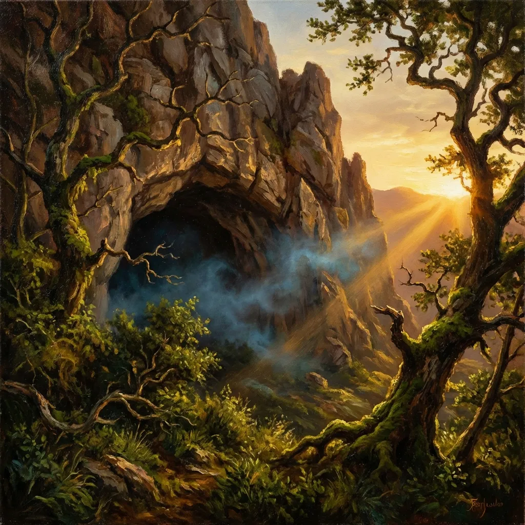
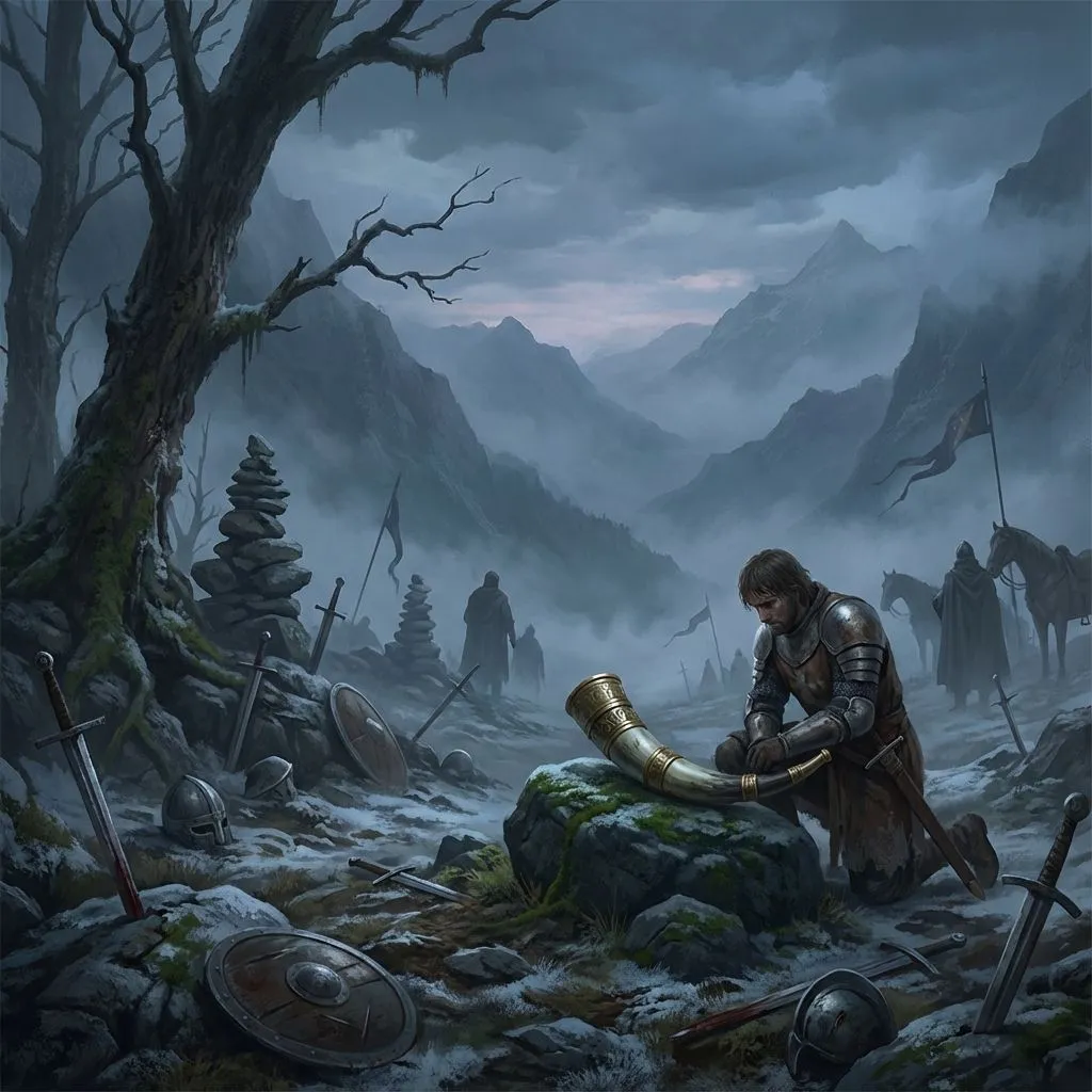
Teodosius of Goñi
The Navarrese knight who, deceived by the devil, committed parricide and wandered in chains until Saint Michael freed him at Aralar.
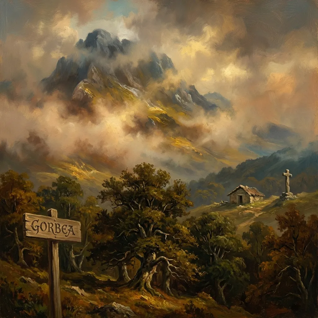
— Nafarroa / Gipuzkoa —
The Bidasoa is the frontier river par excellence between Spain and France, marking for centuries the natural boundary between both states in its final kilometres before reaching the Cantabrian Sea. More than a border, it has long been a space of passage, exchange and shared Basque life.
The Bidasoa valley has witnessed crucial historical episodes. On Pheasant Island, located in its waters, the Treaty of the Pyrenees was signed in 1659 and dynastic exchanges took place, turning the river into a discreet but decisive stage of European diplomacy.
The waters of the Bidasoa are famous for the quality of their salmon and trout, which have drawn anglers for generations. The towns along its course preserve a rich cultural heritage and reinforce the image of the river as a living thread between landscapes, memory and the Basque frontier.
The mouth of the Bidasoa, in the Bay of Txingudi, forms one of the most important wetlands on the eastern Cantabrian coast, a refuge for migratory birds and a protected natural space that can be explored along paths and viewpoints linking Hondarribia, Irun and Hendaye.
The Navarrese knight who, deceived by the devil, committed parricide and wandered in chains until Saint Michael freed him at Aralar.
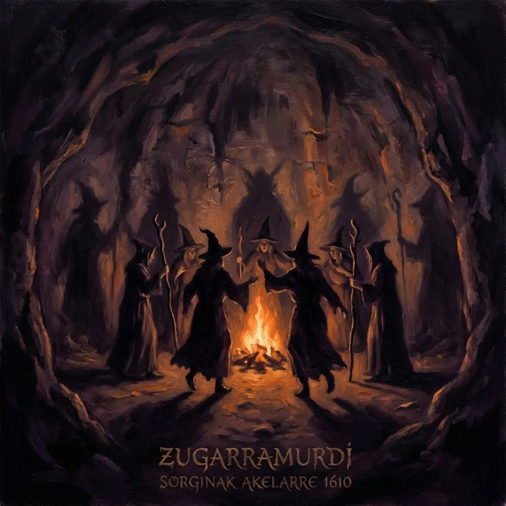
The famous inquisitorial trial of 1610 against the Navarrese witches who held akelarres in the sacred cave.
The Basque ambush against Charlemagne's army in the Pyrenean pass where the legendary Roland fell.

The shaggy giant who lives in the forests, protector of flocks and guardian of the secrets of agriculture and the forge.

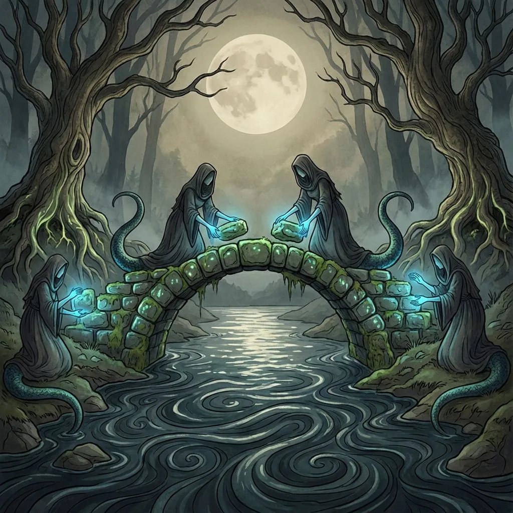
Seductive nymphs who dwell in rivers and springs, recognisable by bird feet or fish tails, combing their hair with golden combs.
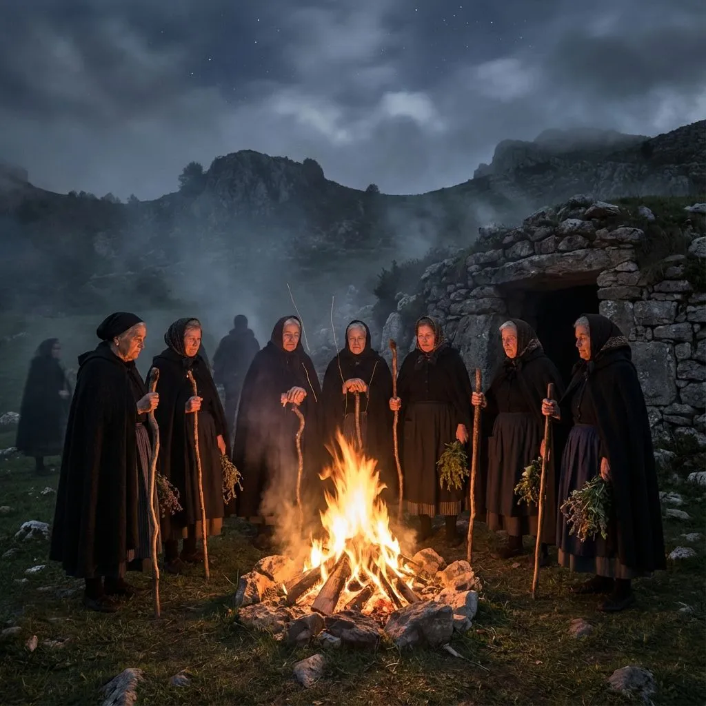
The Basque witches and wise women, priestesses of Mari who mastered potions, curses and the art of flying through the night sky.
El río Bidasoa nace en los montes de Navarra y recorre hacia el norte el valle del Baztan antes de convertirse en la frontera natural entre España y Francia en su tramo final, desembocando en el Cantábrico en el estuario de Txingudi, entre Hondarribia e Hendaia. Esta doble condición de río navarro y frontera política lo convierte en un elemento geográfico cargado de significado múltiple para la cultura vasca.
La historia del Bidasoa como frontera política es relativamente reciente en términos comparados con su papel como vía de comunicación y comercio entre las comunidades vasca de sus dos orillas. Durante siglos y antes de que los tratados de paz europeos convirtieran su orilla izquierda en Francia y la derecha en España, los pueblos que vivían junto al río formaban parte de los mismos circuitos económicos, culturales y familiares independientemente del lado en que se encontrara su caserío.
En medio del Bidasoa, entre Hondarribia e Hendaia, se encuentra la isla de los Faisanes, uno de los condominos internacionales más pequeños del mundo, alternando su soberanía entre España y Francia cada seis meses desde el Tratado de los Pirineos de 1659. En esta pequeña isla neutral, rodeada por el Bidasoa, se celebraron históricamente las negociaciones de paz entre las dos principales potencias de la época, y en ella se firmaron algunos de los acuerdos políticos más importantes de la historia europea moderna.
El estuario de Txingudi, donde el Bidasoa se abre al Cantábrico, es además uno de los humedales más importantes del golfo de Vizcaya para las aves migratorias. Protegido como reserva de la biosfera, sus marismas y zonas inundables acogen cada año a miles de aves en paso entre África y el norte de Europa, convirtiendo este punto de la costa vasca en un destino de primer orden para el turismo ornitológico.